Explore Kudat’s history through old maps, oral stories, and community life that shaped its identity as part of Malaysia.
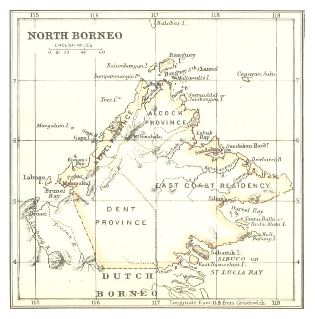
Historic map: “Map of North Borneo” (1888), by Edward Stanford for the British North Borneo Chartered Company. Source: Wikimedia Commons / Library of Congress. Public domain.
Kudat’s story is not just told in museums, but in the maps, stories, and people that shaped it. As Malaysia’s northern gateway, Kudat has always been a crossroads of cultures and journeys.
Maps and Navigation
Historic maps of Borneo often marked Kudat as a vital waypoint. Its geographic position made it attractive to seafarers and colonisers, who recognised its strategic significance.
Oral Histories and Community Stories
Beyond maps, Kudat lives in the stories told by its people. Rungus elders recall traditions of longhouse life, community festivals, and maritime skills. Migrant communities from China added their own layers, building temples, businesses, and schools.
A Living Heritage
Kudat is more than a place on a map, it is a living heritage. Its identity as part of Sabah and Malaysia is celebrated in cultural practices, preserved in the museum, and marked every day by the waves that meet at the Tip of Borneo.
Historical fact: Kudat was briefly considered for further port development during the colonial period, but its role shifted as other cities grew. Its identity, however, remains unique and firmly Malaysian.